Physical Address
304 North Cardinal St.
Dorchester Center, MA 02124
Physical Address
304 North Cardinal St.
Dorchester Center, MA 02124

This post may contain affiliate links. As an Amazon Associate, we may earn commissions from qualifying purchases.
Have you ever wondered how drones effortlessly navigate the skies with such precision?
GPS (Global Positioning System) plays a crucial role in enabling drones to fly accurately and execute complex maneuvers without losing their way. Understanding how GPS works in drones can provide you with fascinating insights into the technology that powers these incredible gadgets. This article aims to break down how GPS works in drones in a friendly and comprehensive manner.
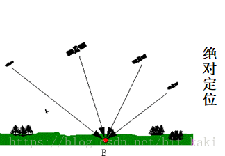
Before diving into how GPS works in drones, it’s helpful to understand what GPS actually is. GPS is a satellite-based navigation system made up of at least 24 satellites orbiting the Earth. It provides location and time information in all weather conditions, anywhere on or near the Earth, where there is an unobstructed line of sight to four or more GPS satellites.
GPS consists of three main segments:
| Segment | Description |
|---|---|
| Space Segment | Composed of the 24 to 32 satellites that transmit one-way signals providing GPS information. |
| Control Segment | Ground-based stations that monitor the satellites, correct errors, and ensure proper operation. |
| User Segment | Consists of GPS receivers, which can be found in devices like your phone or a drone, receiving GPS signals for location and timing. |
In drones, GPS ensures accurate flight control, stability, and positioning. It enables a variety of features that make flying drones more intuitive and functional.
Drones use GPS for stabilization to maintain a fixed position in the air. By receiving signals from at least four satellites, the drone can calculate its position in 3D space. This allows it to hover stably even if the wind tries to push it off course.
GPS also enables drones to navigate from one point to another accurately. You can program waypoints, which are specific points in space. The drone will then fly to these points autonomously, thanks to its GPS capabilities.
One of the most valuable features enabled by GPS in drones is the Return to Home (RTH) function. If your drone loses connection or runs low on battery, it can automatically return to the take-off point using the saved GPS coordinates.
Understanding how GPS coordinates work is crucial for grasping how GPS aids drones. GPS coordinates are based on a system called latitude and longitude.
Latitude and longitude are the coordinates that GPS uses for pinpointing locations.
Together, these coordinates give a unique address for any location on Earth.
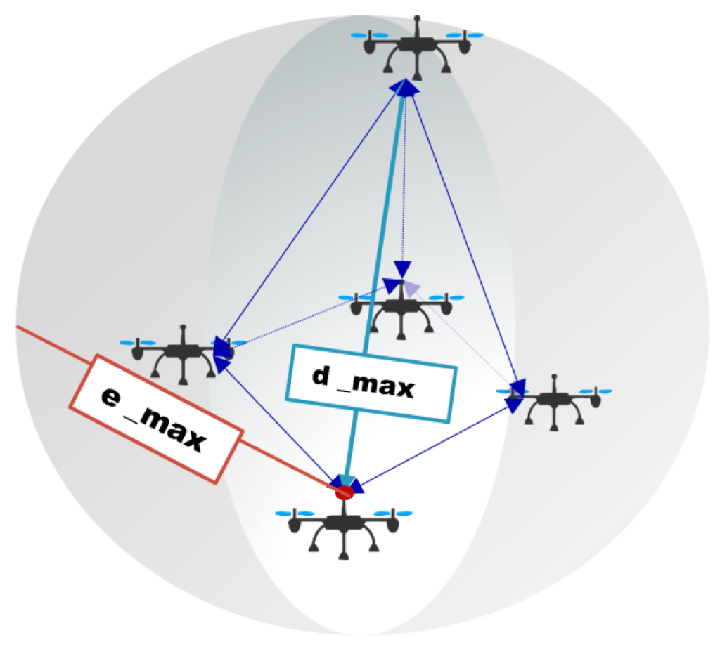
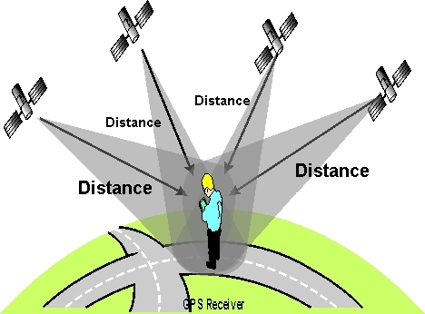
For a GPS receiver in a drone to determine its exact location, it uses a process called triangulation (or more accurately, trilateration). The drone receiver picks up signals from multiple satellites. The time it takes for the signals to travel from the satellite to the receiver helps the drone calculate the distance to each satellite. By intersecting these distance measurements, the drone can pinpoint its own location.
GPS accuracy can significantly impact your drone’s performance. Several factors affect GPS accuracy, including atmospheric conditions, satellite geometry, and signal blockage from buildings or trees.
To improve GPS accuracy, drones may use additional systems like GLONASS (Russian satellite system) or Galileo (European satellite system) alongside GPS. This multi-GNSS (Global Navigation Satellite System) approach provides more satellite signals, enhancing precision.
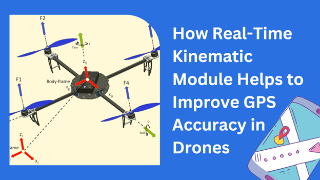
For applications requiring extremely high accuracy, some drones use Real-Time Kinematics (RTK). RTK enhances GPS accuracy to centimeter-level precision by using a fixed base station and a rover. The base station receives GPS signals and compares them to the known location, calculating corrections that it sends to the rover on the drone.
RTK offers precise positioning, which is crucial for industries like survey mapping, agriculture, and construction. With RTK, you can achieve exceptional accuracy that conventional GPS cannot provide.
GPS enables drones to operate autonomously by providing reliable and accurate positioning data.
Autonomous drones use GPS for path planning, plotting a course based on GPS coordinates. This is essential for delivery drones, surveillance, and search and rescue operations.
With GPS, drones can dynamically adjust their path in real-time. If obstacles are detected, the drone can calculate a new route to avoid collisions while still reaching its destination.

While GPS is a robust technology, it is not immune to interference. Jamming and spoofing are two challenges that can affect GPS signals.
GPS jamming occurs when a signal at the same frequency as the GPS signal overrides or interferes with the legitimate GPS signals. Jammers can disrupt the drone’s ability to receive GPS signals, leading to a loss of navigation and stability.
GPS spoofing involves sending false GPS signals to deceive the GPS receiver. This can trick the drone into thinking it’s in a different location. Spoofing can be particularly dangerous, leading to potential loss or compromising the mission of the drone.
To counteract jamming and spoofing, some drones incorporate advanced technologies like anti-jamming antennas and encryption. Using multiple GNSS systems simultaneously also offers redundancy, reducing the risk of total signal loss.
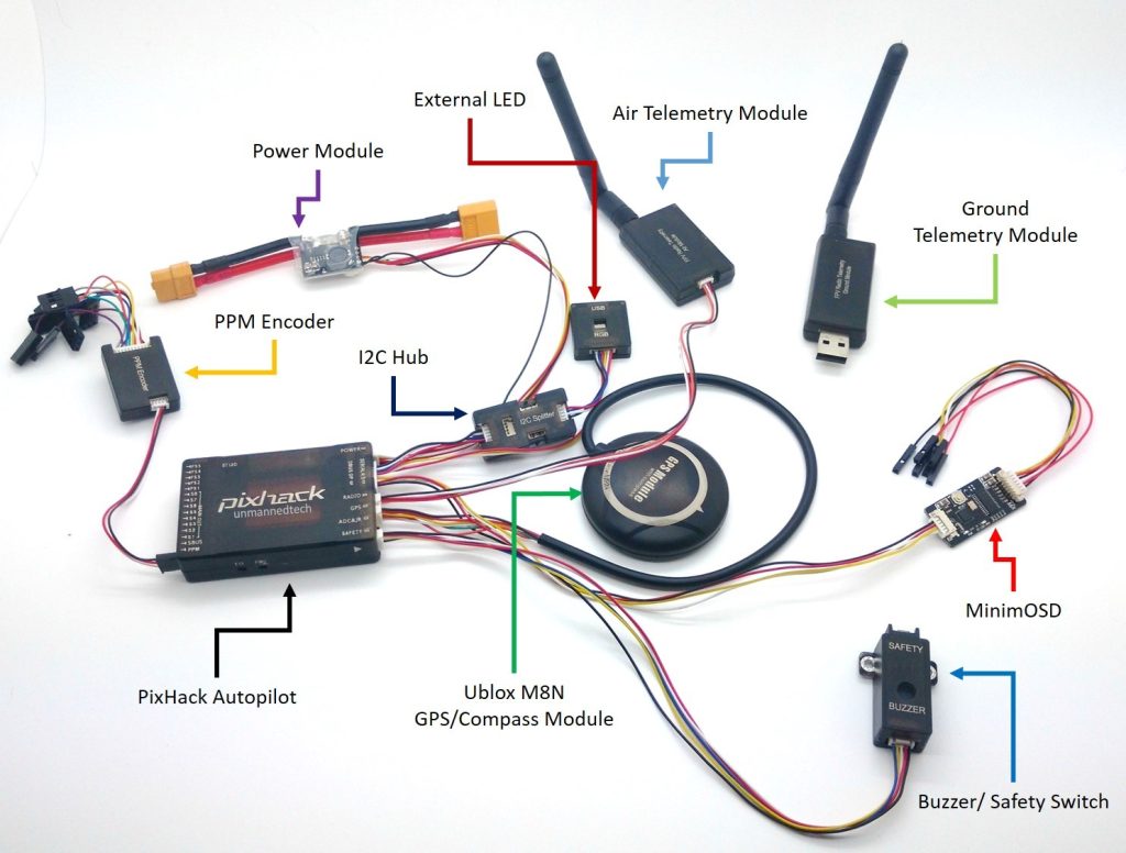
Different types of drones, from consumer to industrial models, use GPS for various purposes.
For hobbyists, GPS enables basic functions like stable hovering, waypoint navigation, and Return to Home features. These features make flying easier and safer for general users.
In professional settings, GPS offers enhanced functionalities like precise flight paths for survey missions, agricultural mapping, and infrastructure inspections. These applications often require higher accuracy and reliability, sometimes employing technologies like RTK for improved precision.
As technology advances, the role of GPS in drones is set to evolve. Innovations in satellite technology, improvements in accuracy, and enhanced security measures will all contribute to making GPS even more integral to drone operations.
Combining GPS with artificial intelligence (AI) can lead to smarter drones capable of making complex decisions autonomously. For instance, AI can help in optimizing flight paths based on real-time data, improving efficiency and safety.
New satellite systems and technologies are continually being developed to improve GPS accuracy further. Enhanced GPS accuracy will open up new possibilities for applications requiring even more precise positioning.
You now have a comprehensive understanding of how GPS works in drones. It’s clear that GPS is essential for enabling the advanced functionalities that make drones so versatile and reliable. Whether for recreational use, professional applications, or future innovations, GPS continues to be a cornerstone technology in the world of drones.
By appreciating the intricate workings of GPS in drones, you can better understand the technology that powers these flying marvels. Whether you’re a hobbyist or a professional, knowing how GPS functions will undoubtedly enhance your drone-flying experience.