Physical Address
304 North Cardinal St.
Dorchester Center, MA 02124
Physical Address
304 North Cardinal St.
Dorchester Center, MA 02124
Discover the Best Drones: Trusted Reviews, Tips, and Guides
Discover the Best Drones: Trusted Reviews, Tips, and Guides
This post may contain affiliate links. As an Amazon Associate, we may earn commissions from qualifying purchases.
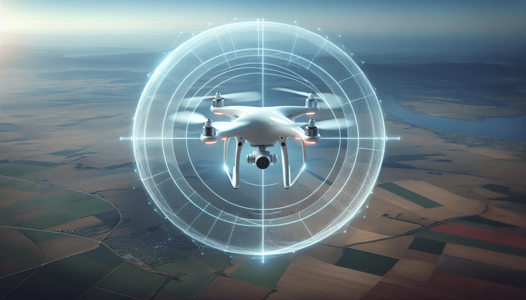
Have you ever wondered how drones manage to avoid restricted airspaces or no-fly zones? Understanding Geofencing in drones can clarify how these flying machines maintain safe and legal operations. Drones have become increasingly popular for recreational and commercial use. But as more drones take to the skies, the potential for accidents and violations of airspace regulations increases. That’s where geofencing comes into play.
Geofencing is a technological feature that uses GPS, RFID, Wi-Fi, or cellular data to create virtual geographic boundaries. When this is applied to drones, it helps in preventing their operation within designated areas known as no-fly zones. These zones can range from airports and military bases to private properties and events.
Geofencing in drones utilizes a combination of software and hardware to create digital boundaries. Here’s a simple breakdown:
Geofencing offers several advantages that make it essential for drone operations.
Geofencing enhances safety by preventing drones from flying into dangerous areas. Imagine the risks of a drone straying into the airspace of a busy airport. The consequences could be disastrous.
Geofencing helps operators comply with regulatory requirements. Many countries have strict rules governing drone flights, and geofencing can ensure you stay within legal boundaries.
In addition to legal and safety concerns, geofencing helps protect privacy by keeping drones away from private properties. This ensures that people’s privacy rights are not violated.
For commercial operations, geofencing can streamline tasks such as surveying or delivery by limiting drone operations to specific areas.

The backbone of geofencing technology is GPS. It provides the positional data necessary to keep the drone aware of its location at all times.
A geo-database stores the coordinates of restricted zones. This database is regularly updated to reflect new or temporary restrictions, such as for events or emergencies.
Geofencing software processes the position data from GPS and compares it to the geo-database to determine if the drone is within a restricted zone.
Communication systems, such as Wi-Fi or cellular networks, enable real-time updates and alerts. They can be used to send warnings to the operator or automatically adjust the drone’s flight path.
Understanding the types of geofencing zones can help you appreciate the versatility and depth of this technology.
These are locations that are perpetually restricted, such as military bases, nuclear facilities, and airports.
These can include areas where events are taking place or construction sites that might pose a risk to drone flights.
Some drones allow operators to set up their custom no-fly zones, which is useful for private property owners or companies that want to restrict access to certain areas.
Layered zones involve multiple levels of restrictions. For example, a zone near an airport might have increasing levels of restriction as you get closer to the runway.
Here’s a quick comparison of these types:
| Type | Examples | Duration |
|---|---|---|
| Permanent No-Fly Zones | Airports, Military Bases, National Parks | Ongoing |
| Temporary No-Fly Zones | Event Locations, Construction Sites | Time-bound |
| Custom Geofencing Areas | Private Property, Commercial Areas | Operator-specific |
| Layered Zones | Airport Vicinity with Graduated Restrictions | Variable |

Setting up geofencing is relatively straightforward, but the exact process can differ depending on the make and model of your drone.
Various regulatory bodies worldwide have set standards for drone operations, and geofencing often plays a part in these standards.
In the United States, the FAA has stringent rules for Unmanned Aircraft Systems (UAS). Geofencing can help comply with FAA regulations by ensuring drones stay out of restricted airspace.
EASA governs drone operations within the European Union. Their standards often incorporate geofencing to enhance flight safety and compliance.
Countries such as Canada, Australia, and Japan also have regulatory frameworks in place that often recommend or mandate the use of geofencing for drones.
Ensuring compliance with these standards is crucial for both recreational and commercial drone operators. Non-compliance can result in hefty fines and penalties.
The future of geofencing in drones looks promising, with advancements in technology and increased regulatory support.
Incorporating AI can make geofencing more intuitive and effective. For example, AI can predict and prevent incidents by analyzing flight patterns and historical data.
Developments in GPS technology are likely to make geofencing even more reliable, reducing the margin of error.
Future geofencing systems may integrate more seamlessly with other flight control systems, creating a more cohesive and robust drone management experience.
While geofencing offers numerous benefits, its effectiveness can be influenced by several factors such as GPS accuracy, software reliability, and compliance from the operator.
Numerous case studies demonstrate the practical benefits of geofencing. For example, DJI’s implementation of geofencing technology has successfully prevented countless unauthorized flights into restricted airspace.
As a drone operator, following best practices can ensure you make full use of geofencing technology while staying safe and compliant.
Always keep your drone’s software and GPS maps updated. This ensures that you have the most accurate geofencing data available.
Before each flight, check your geofencing settings to confirm they are configured correctly.
Familiarize yourself with local drone regulations to ensure you are in compliance, even with geofencing enabled.
Perform periodic test flights to verify that your geofencing settings are working as intended.
If you encounter any issues with geofencing, report them to the manufacturer. This helps improve the technology for everyone.
Geofencing in drones is an indispensable feature that enhances safety, ensures legal compliance, and protects privacy. Understanding how it works, its components, and how to set it up can help you make the most out of your drone experience. While it does have some limitations, staying informed about best practices and future trends can ensure you remain compliant and operate your drone safely.